Like many urban environments, San Francisco has a plethora of walkways that are incredibly useful, yet for whatever reason are just off the beaten path enough to avoid large crowds. Many of them are hidden due to unclear signage, others are quite obvious yet are widely overlooked.
Now there are many I could place on this list, but I wanted to focus on a few that I personally use from time to time. And to make things interesting I’m going to “rate” them — for whatever that’s worth — on scales of usefulness and scenic views.
Note that I’m only including passages that are free and currently open to the public.
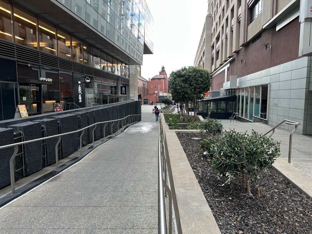
Yerba Buena Lane
This one block long passage between Market and Mission is wedged between two massive hotels and a stone’s throw from Moscone Center. Perhaps for that reason it seems to only get a sizable amount of foot traffic when businesses conferences come to town. It also can’t help that the Contemporary Jewish Museum next to the alley has been “temporarily” closed for some time.
But for locals, the alley offers some solid if expensive dining options and — more importantly — a way to avoid the chaotic conduit of Fourth Street.
Points of interest: Union Square neighborhood, Metreon, Yerba Buena Gardens, Moscone Center, SFMOMA, Powell St. BART/Muni Metro station
Usefulness rating: 10/10
Scenic rating: 5/10
Bay Trail
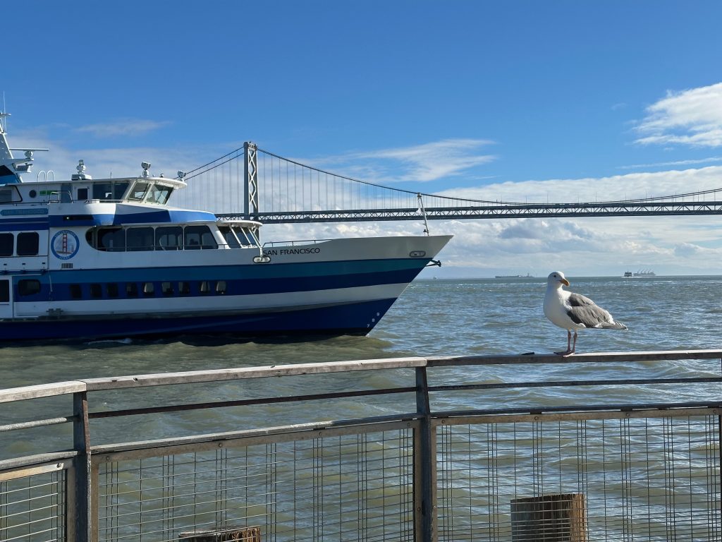
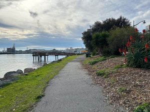
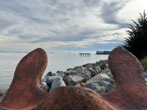
What if I told you there’s a public pathway around the entire perimeter of the bay? Well I’d be lying if I said that, but there’s an ambitious plan to build one: the Bay Trail. When complete it will be about 350 miles, including the walkway across the Golden Gate Bridge but presumably not the perimeter of, say, SFO for obvious safety reasons.
The part I think many may find surprising (including locals) is that in San Francisco the pathway is on the outside edge of the bay front pier properties including the Exploratorium, the Giants ballpark, etc. This part of the Bay Trail isn’t always well marked; I’ve only included some highlights on the map above. While I’ve yet to try this myself, parts of the path also have small docks for the tourist-oriented water taxi service.
Points of interest: Ferry Building, Chase Center, Exploratorium, Giants Ballpark, Pier 39, Maritime Museum, Crane Cove Park, F-line historic streetcar, N-Judah and T-Third Muni Metro lines
Usefulness rating: 5/10
Scenic rating: 10/10
Elevator to Parnassus
It’s not exactly a secret that Mt. Sutro is quite steep — try walking the one block from Irving to Parnassus without huffing and puffing if you don’t believe it.
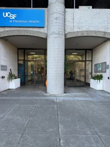
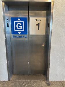
Fortunately, the UCSF campus on the side of the hill has a semi-public elevator that you can use instead. From the N-Judah stop on Irving, head down the hallway past the parking garage and you’ll find an elevator that takes you to street level at Parnassus.
Points of interest: UCSF hospital, Inner Sunset
Usefulness rating: 10/10
Scenic rating: 0/10
Gene Friend Way
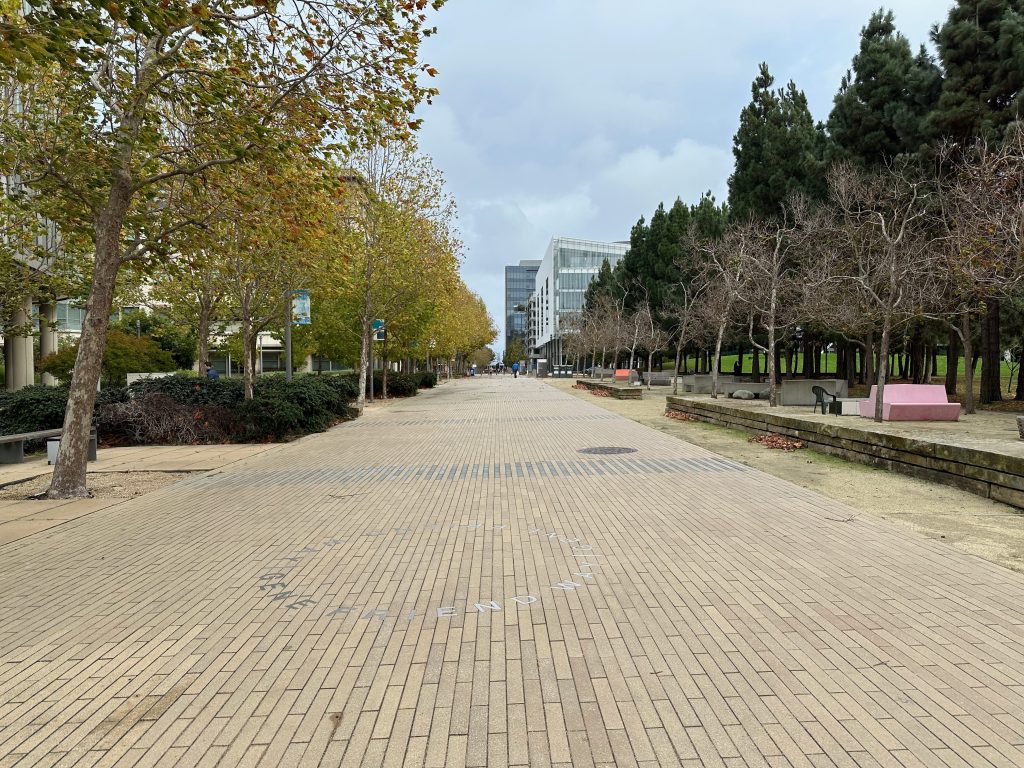
Meanwhile on the other side of the city at the other big UCSF campus is a wide pedestrian street surrounded by partially finished buildings. It’s namesake may sound like it could be the mascot of Genentech, but it turns out Gene Friend was a real person. Who knew?
While the street design is rather bland it does provide a bit of outdoor space with benches and picnic tables — and it connects several destinations in the perpetually under construction Mission Bay neighborhood.
Points of interest: UCSF and Kaiser clinics, corporate offices, Chase Center NBA/WNBA arena, Muni Metro T-Third station
Usefulness rating: 7/10
Scenic rating: 2/10
Salesforce Park
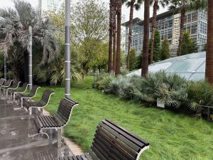
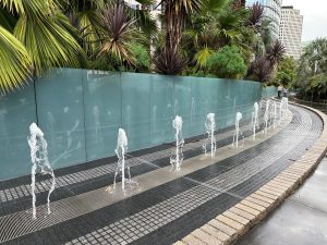
San Francisco’s elevated park is pretty well known at this point, but here’s an idea: have you ever considered using it as a passageway?
With elevators at both ends and no cross traffic to get in your way, the path through the park is a much quieter, more peaceful alternative to the street level sidewalks from 2nd Street to Beale Street in SOMA.
Points of interest: Corporate offices, cafes, restaurants, bus service to the East Bay and beyond
Usefulness rating: 9/10
Scenic rating: 6/10
Union Square Station
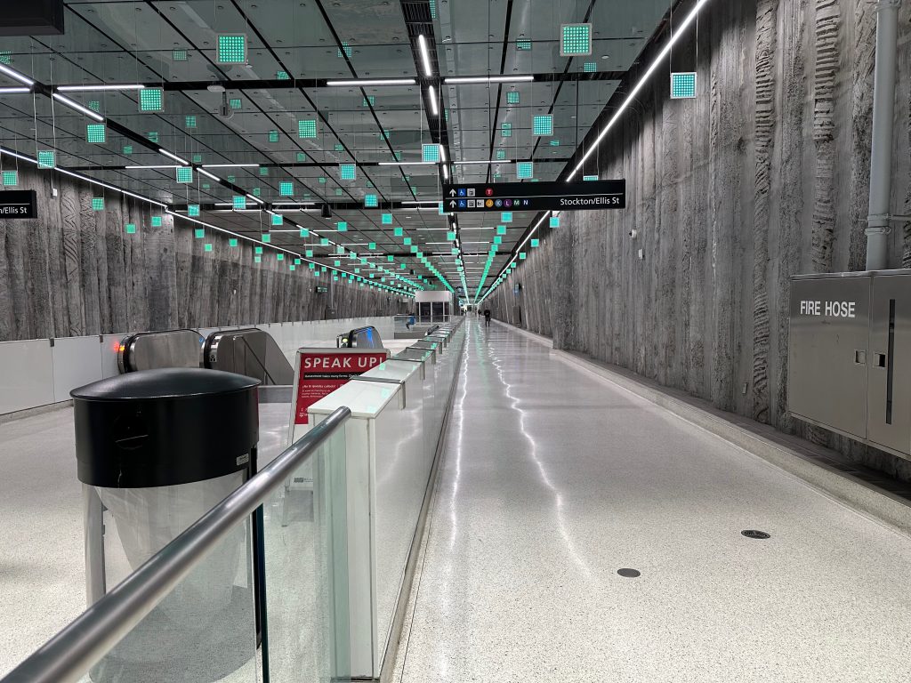
Sticking with the topic of places that unintentionally work as passages, the relatively new Union Square Station can be used as a shortcut beneath Stockton Street from Market Street to the southeast corner of Union Square.
While the era of department stores is firmly on the way out, Union Square is still often busy with shoppers and tourists — this provides a way to skip under that. It’s also incredibly useful on rainy days, particularly as it connects underground to the much larger Powell Street Station.
Points of interest: Shopping and dining at Union Square and Chinatown, dental practices, Muni Metro (all lines). BART, cable cars (all lines), F-line historic streetcar, 30 Stockton Muni bus
Usefulness rating: 10/10
Scenic rating: 0/10
Chestnut Street Stairway Garden
Going into this list I knew I’d have to include one of the city’s stair streets. The 16th Ave. Tiled Steps would be an obvious contender, but that’s more of a photo-op than a pathway, save for the handful of people who live in the area. Another tourist friendly contender would be the various stairs leading up Telegraph Hill to Coit Tower; but those tend to be crawling with tourists, parrot watchers, and exercise enthusiasts.
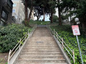
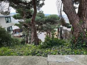
So here’s one I don’t see brought up too often: The Chestnut Street Stairway Garden. Straddling a steep grade of Chestnut Street between Polk and Larkin, these utilitarian concrete stairs provide a unique and occasionally surreal view — and quite the workout. (Reminder: stretch your legs and ankles.)
But the real secret is at the top: a block or two away along the Powell-Hyde cable car line is the infamous curvy section of Lombard Street as seen on countless postcards. Which makes this stairway a great way to surprise your friends visiting from out of town.
Points of interest: Curvy section of Lombard Street, Powell-Hyde cable car line, 49-Van Ness bus rapid transit
Usefulness rating: 2/10
Scenic rating:7/10
Embarcadero Skyway
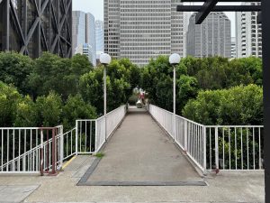
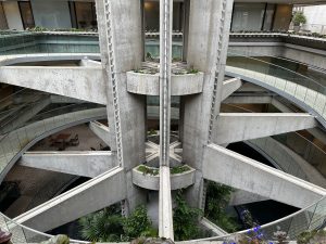
There’s only one way to conclude a post about these types of urban walkways in San Francisco, and that’s the Embarcadero Skyway.
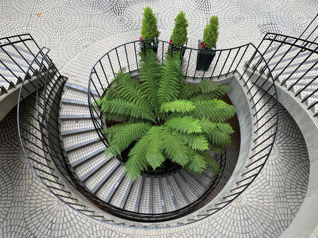
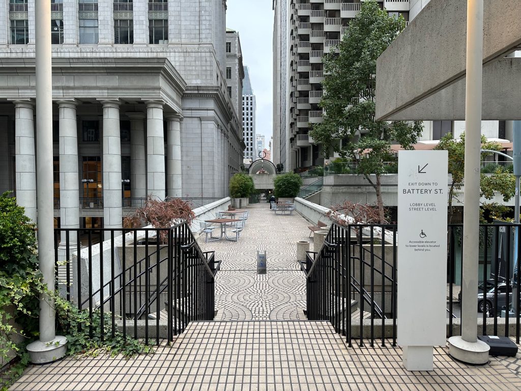
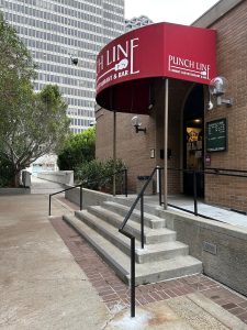
These pedestrian sky bridges connect not only the four Embarcadero Center towers and the related Hyatt Regency hotel, but also several surrounding buildings including offices, housing, a park and — perhaps most surprisingly — the infamous Punch Line Comedy Club.
Many locals lament the days when the Embarcadero Center’s first two floors were a vibrant mall. These days it’s largely medical offices and a handful of cafes, plus a couple massive restaurants aimed at the corporate conference crowd. The once bustling arthouse movie theater has been closed for years, which is quite unfortunate for fans of the sky bridge as the theater’s lobby served as a shortcut to the bridge over Clay Street — currently you have to take the long way, down and back up a flight of stairs to access it.
In spite of all that, the Embarcadero Skyway’s combination of gardens and high rises and strangely timeless mid-century design attracts photographers like flies to a flame. Whether it be front and center in an architecture magazine or in the background of a fashion shoot, you’ve no doubt seen it before. Now you know how to see it for yourself.
Points of interest: Offices, housing, Hyatt Regency, Punch Line Comedy Club, Ferry Building, California Street cable car, F-line historic streetcar, BART, Muni Metro
Usefulness rating: 4/10
Scenic rating: 10/10